|
Welcome to the Louisiana Helicam blog!
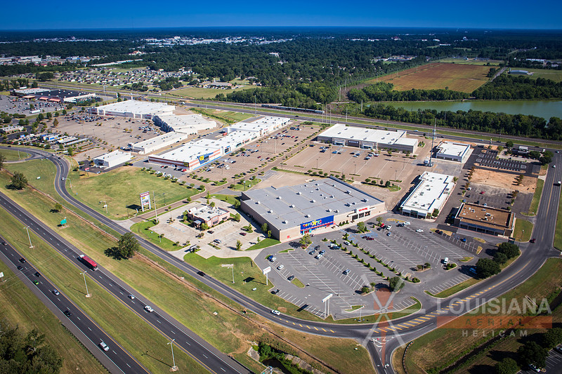
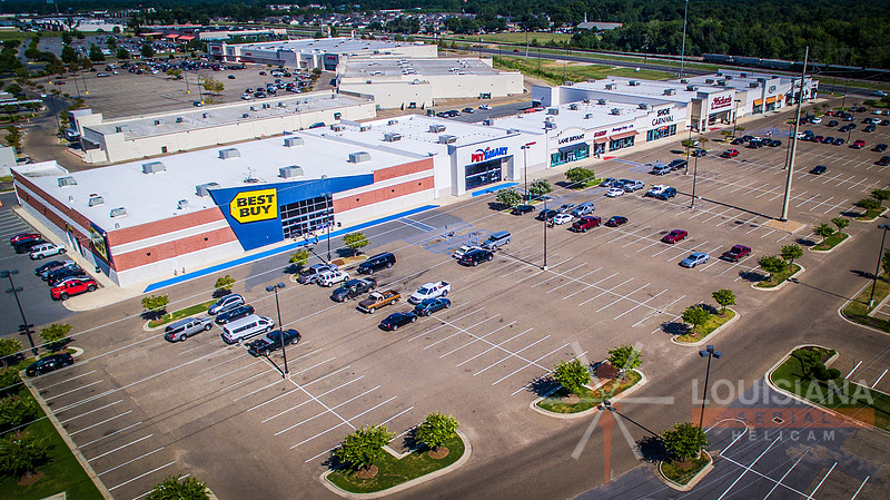
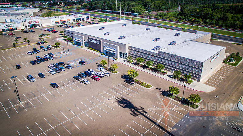
Commercial Aerial PhotographyLouisiana Helicam is your "go to" aerial photography company when it comes to professional commercial shopping center aerials. Here are several recent examples:
Commercial PhotographyWe've been receiving more requests for commercial photography lately. These images are part of a set that were taken for a local pool contractor. Enjoy!
Bridge ConstructionThese bridge construction images are just a few from a large collection taken for a client on 7/17/15.
EnLink Midstream Cajun-Sibon NGL Expansion Project Aerial Photos-Plaquemine, LouisianaLouisiana Helicam recently took the last round of aerial photographs, aerial videos, and aerial panoramic media for the EnLink Midstream Cajun-Sibon NGL Expansion project. This was a multi-year project that utilized all services that Louisiana Helicam has to offer. The expanded Cajun-Sibon system connects EnLink Midstream’s Eunice fractionator in South Louisiana to Mt. Belvieu supply pipelines in East Texas, improving the reliability and diversity of NGL supply to the region’s petrochemical and refining markets. Phase II of the Cajun-Sibon project, which is supported by long term, fee-based ethane and propane sales agreements with a major petrochemical company in the region, includes: the expansion of the Partnership’s Cajun-Sibon pipeline capacity by an additional 50,000 barrels per day (bpd) of raw-make NGL to 120,000 bpd; the installation of a 100,000 bpd fractionator adjacent to the Partnership’s Plaquemine natural gas processing plant; the modification of the Riverside fractionator facility; and the construction and conversion of approximately 90 miles of NGL pipelines that originate at the Partnership’s Eunice fractionator and connect to the new Plaquemine fractionator. Links of interest:
Louisiana Helicam Mapping ServicesLouisiana Helicam Mapping Services: Louisiana Helicam has been offering aerial mapping services as a standard monthly documentation deliverable for several months now. This service exists to aid engineers in land cut/fill design via 3D orthomosaic generation. The orthomosaic and associated report includes dense point cloud data that allows site measurement data to be reviewed at any point on the construction site. I also offer this service with infrared technology for Normalized Difference Vegetative Index studies (NDVI). Contact me for more information.
Louisiana Tech University-Joe Aillet Stadium TeaserThis short video was taken during a recurring progress photo shoot at Louisiana Tech University's Joe Aillet Stadium. Enjoy!
Reinventing the Crescent-New Orleans, LALouisiana Helicam recently had the privilege of shooting riverfront aerials for the Reinventing the Crescent project in New Orleans.
Industrial Site ExampleJust one of many images taken during this past weekend's rounds.
|