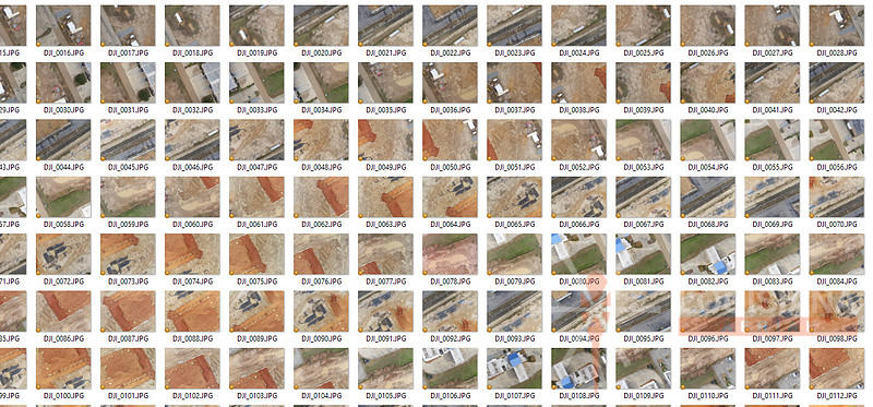
Aerial Drone Photogrammetry | February Mapping Blog | Part 2Louisiana Helicam writes monthly publication articles regarding drone/UAV/UAS usage in the pulp and paper industry. The February 2017 article is contained below: In last month’s article, we got a brief overview of Photogrammetry and how it is used for various applications. This month’s article will demonstrate the process that was used for a local church construction project. Step 1: Gather Aerial Imagery Gathering the aerial image collection is the first step in the process. There are many different types of drones, cameras, flight grid apps, and trigger control methods. We won’t go into those details since the end result should involve images with adequate overlap regarding of what equipment is used. Final output quality requirements will determine the amount of image overlap to be obtained during the shooting process. Remember, last month’s article stated that Photogrammetry is the creation of a 3D model from a combination of many 2D images.
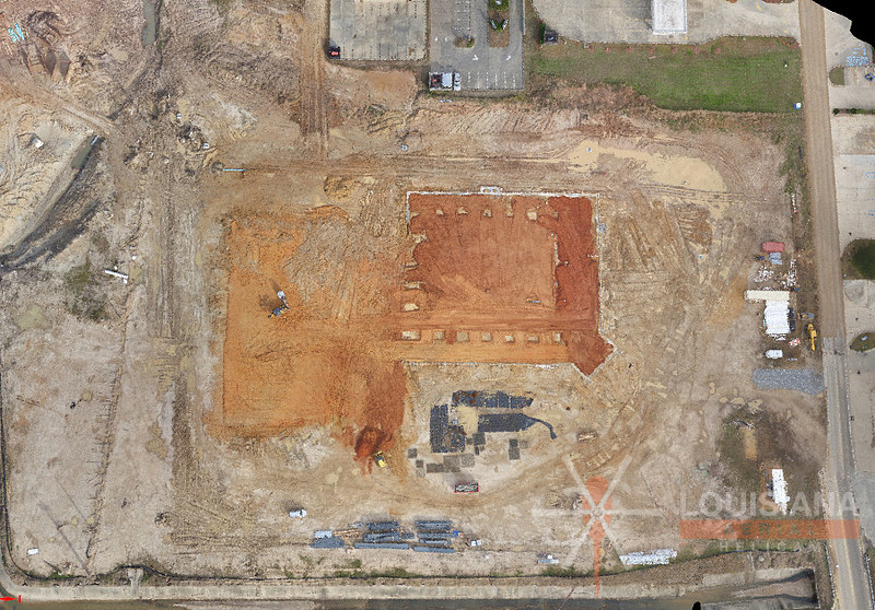
Step 2: Stitch the Images Together Now that we’ve gathered a good image collection in the field, we’ll now use Pix4D to stitch the images together. This process will create the Densified Point Cloud.
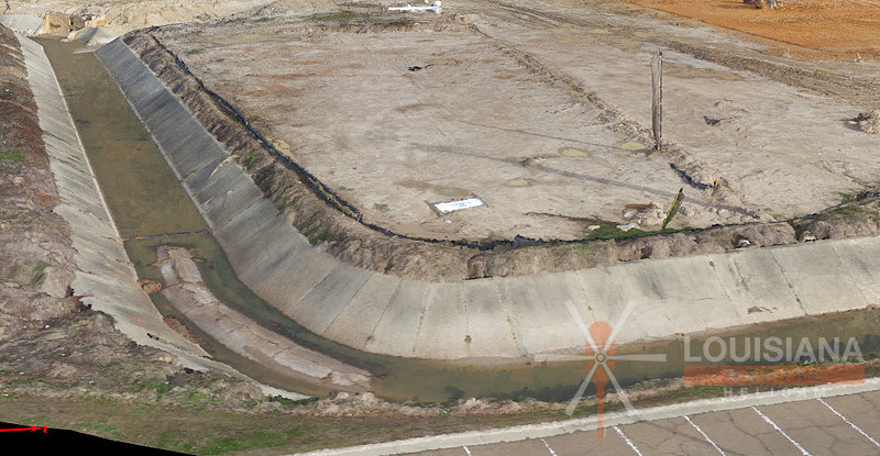
Note the 3D component that displays contours and cut/fill areas:
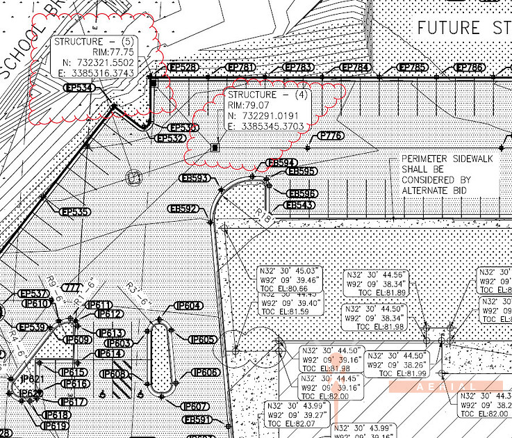
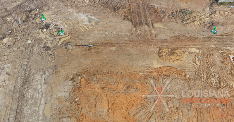
Step 3: Include Surveyed Ground Control Points Although GPS location information is often included in each image’s EXIF data, it typically isn’t very accurate. This is the reason surveyed ground control points (GCP’s) are often required to “truth” the 3D model to reality. Control point data can be imported from a “points” file or manually entered into the program:
The survey crew provided us with a paving and grading plan that included accurate ground control points. From this information, we’re able to enter the information for six ground control points:
Step 4: Re-optimize the Project The project needs to be re-optimized after the inclusion of ground control points. Now that the model has been “truthed”, we are ready to generate the final outputs. Pix4D can output 3D information to be used in a number of CAD-based programs. The following is a list of example uses:
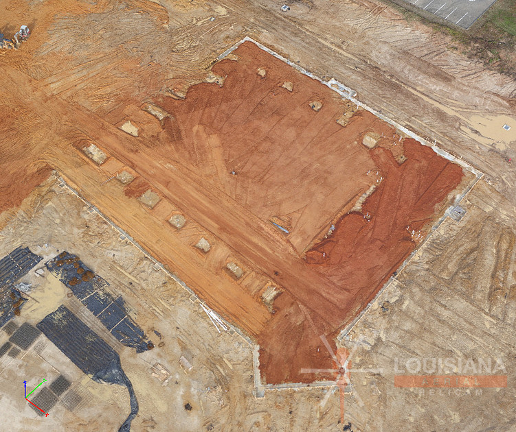
For our example, the client used the model to generate an accurate cut/fill model for earthmoving purposes:
Keywords:
baton rouge drone,
baton rouge drone mapping,
baton rouge topo,
drone topography,
lake charles drone,
lake charles drone mapping,
lake charles topo,
lidar,
louisiana drone mapping,
louisiana mapping,
louisiana photogrammetry,
louisiana topo,
new orleans drone,
new orleans drone mapping,
new orleans topo,
photogrammetry,
shreveport topo,
west monroe drone mapping

Comments
No comments posted.
Loading...
|