|
Welcome to the Louisiana Helicam blog!
Fixer Upper | Magnolia Market Silos - 2/6/17I recently had the opportunity to shoot several photos of the Magnolia Market Silos while passing through Waco, TX. More information can be found in the following links:
Enjoy!
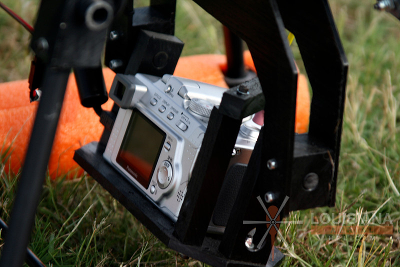
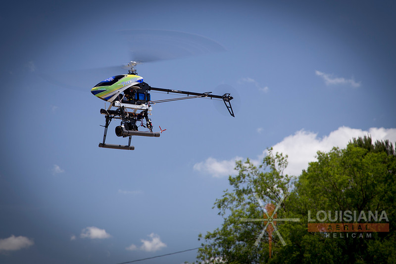
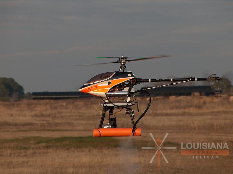
The Evolution of Unmanned Aerial SystemsUnmanned Aerial Systems (or UAS) have evolved quite a bit since I began flying them in 2004. Louisiana Helicam started out as an aerial photography company that used radio-controlled helicopters long before multirotor drone technology was adopted as mainstream. My first helicopter actually used an analog rotary servo with a bicycle brake cable to activate the camera’s shutter button. A pencil eraser was shoved onto the end of the brake cable so that the shutter button wouldn’t become pitted during the process. The machine had to land each time a change was needed with respect to the camera’s settings. The helicopter was powered by a .50-class glow engine and a basic heater hose was used to vent the exhaust away from the camera to avoid smoke-filled shots. The machine was flown manually with no GPS stabilization. I would often remove the camera gear and put on an aerobatic show for the customer at the end of the session. It was just part of the package. Lithium polymer battery technology (better known as “LiPo”) revolutionized the RC industry in the mid-2000’s. LiPo batteries offer reasonable flight duration at a marginal weight when compared to older technologies such as Nickel Metal Hydride (NiMH) or Nickel Cadmium (NiCad). This served as the starting point for a surge in low cost radio-controlled aircraft. New battery technology, combined with the availability of low-cost GPS stabilization, served as a catalyst for more prevalent multirotor technology that is publicly referred to as “drones.” These machines have made it easier for entry-level pilots to jump right into the aerial photography arena with little to no need for the old art of building and tweaking. This low barrier to entry has caused a number of issues, many of which are featured in news articles almost daily. However, it has also been a positive thing. In my case, modern equipment allows me to focus more on creativity and a busy workload with less bench time. I do still keep a build project on the bench at all times though! Fuel-powered/non-stabilized technology basically had radio-controlled aerial providers limited to simple aerial photography. Aerial video services were difficult to offer without hours of tweaking and no standards were in place to ensure over 90% usable footage. Any UAS service provider that could guarantee over 50% usable aerial video footage had to spend much time on equipment building/tweaking and hours on public forums to develop a system that actually worked well. It’s an exciting time to be in the modern-day UAS industry and overcoming technological hurdles has really opened the door for a variety of uses. Several examples are:
Ground-truthing for Volumetric Calculations | Propeller Aero AeropointsThe use of drones and other unmanned aerial systems for stockpile calculations is quite common these days. The UAS flies a grid pattern over the stockpile area and georeferenced images are stitched into a three dimensional point cloud prior to volume calculation. Some would argue that volumetric calculation via drone only involves relative accuracy and doesn’t need to be “truthed” to real-world/absolute ground control point data. That said, others have found it necessary to have a GCP survey done prior to any volumetric work that will be done on a recurring basis. A professional surveyor can typically provide a GCP survey and associated point file for around $1500-$2500. This point information can then be visually referenced in the digital surface model to “truth” the relative data to the absolute. Propeller Aero (Australian company) has recently introduced a product called “AeroPoints”, a product that was designed to aid in gathering accurate GCP data while onsite. The AeroPoint system contains a series of shock resistant pads that are located at various positions around a stockpile. The solar-powered pads gather GPS location information while the UAS flies the grid (no direct relationship between the AeroPoints and the UAS though). Each AeroPoint pad then uploads the location information to a Propeller cloud server once an internet connection can be established. The Propeller service then provides a point file that can be used to include location information for each Aero Point pad that is visually referenced in the surface model. Propeller Aero recommends a set of 10 AeroPoint pads for up to 300 acres and 20 AeroPoint pads for surveys up to 850 acres. More information can be found within the following link: The Assembly West Monroe | Church Construction Update - January 2017This video contains current time lapse and aerial video footage of the West Monroe Assembly church facility project.
River Ranch Shopping | Lafayette LouisianaWe recently had the opportunity to shoot commercial photos for the River Ranch shopping development located in Lafayette, LA. More information can be found here:
Louisiana Tech University | Joe Aillet Stadium Press Box Construction Project-12/15/16This photo collection represents the latest aerial documentation package for Louisiana Tech University's Joe Aillet Stadium press box construction project.
David Haas Memorial United Methodist Church | Bunkie, LAPlease pray for our friends at David Haas Memorial United Methodist Church in Bunkie, Louisiana. They suffered a total facility loss due to fire on the evening of 11/20/16
Traube Engineering-Louisiana Sugar Cane Planting-Aerial Video-9/15/16It was an absolute pleasure to work with Federico Traube of Traube Engineering (http://www.impagro.info/). Federico Traube has designed a revolutionary sugar cane planter that can plant up to three rows of sugar cane at a time. Longer-than-standard sugar cane billets are cut and loaded into the cart from standard cane wagons. Fungicide is applied during the planting process. Be sure to check out http://www.impagro.info/ for more information.
Traube Engineering-Louisiana Sugar Cane Planting-9/15/16It was an absolute pleasure to work with Federico Traube of Traube Engineering (http://www.impagro.info/). Federico Traube has designed a revolutionary sugar cane planter that can plant up to three rows of sugar cane at a time. Longer-than-standard sugar cane billets are cut and loaded into the cart from standard cane wagons. Fungicide is applied during the planting process. Be sure to check out http://www.impagro.info/ for more information. This 2016 aerial photo collection now includes images of Federico's new single-row sugar cane planter.
The Assembly-8/24/16Recent progress of the new Assembly church facility located in West Monroe, LA.
|